The only drone mapping software you’ll ever need
DroneDeploy Aerial gives your team the power to fly drones and capture site data, then turn it into automated insights. One platform built for speed, accuracy and scale.


.avif)


.avif)
.avif)

Accuracy is the foundation
Survey-grade data - automated, verified, and built to scale.
Everything you need to start flying today
DroneDeploy supports the world’s leading commercial drones, including DJI and Anzu, with our native mobile Flight app and desktop flight planning.
We also support processing integrations with drones from Skydio, Wingtra, and more.
All aerial data can be combined with DroneDeploy Ground imagery for a holistic view of your sites and assets – from every angle.

Reality, captured ...
Create 3D maps, panos and videos, import CAD overlays and integrate with systems of record. Connect the field to the office with up-to-date, reliable data.
... and scaled to every site and pilot
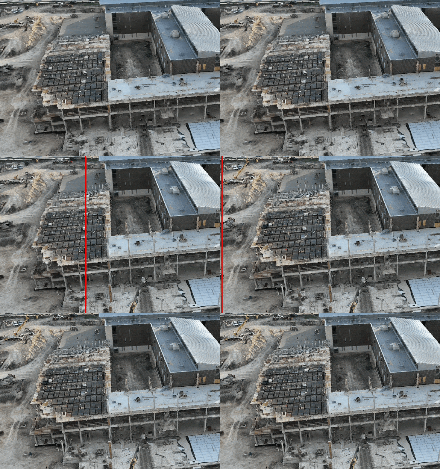
Accurately survey, document, track, and inspect your sites or projects for fewer disputes and more efficient operations.
How DroneDeploy Aerial works
01
Capture:
Document your site in minutes with the DroneDeploy Flight app. Produce repeatable sub-inch maps easily with instant RTK and PPK.

02
Process:
See the projects, sites and assets you care about using high-resolution maps, panos, videos and photos. Turn data into automated insights with the highest accuracy processing available.

03
Measure:
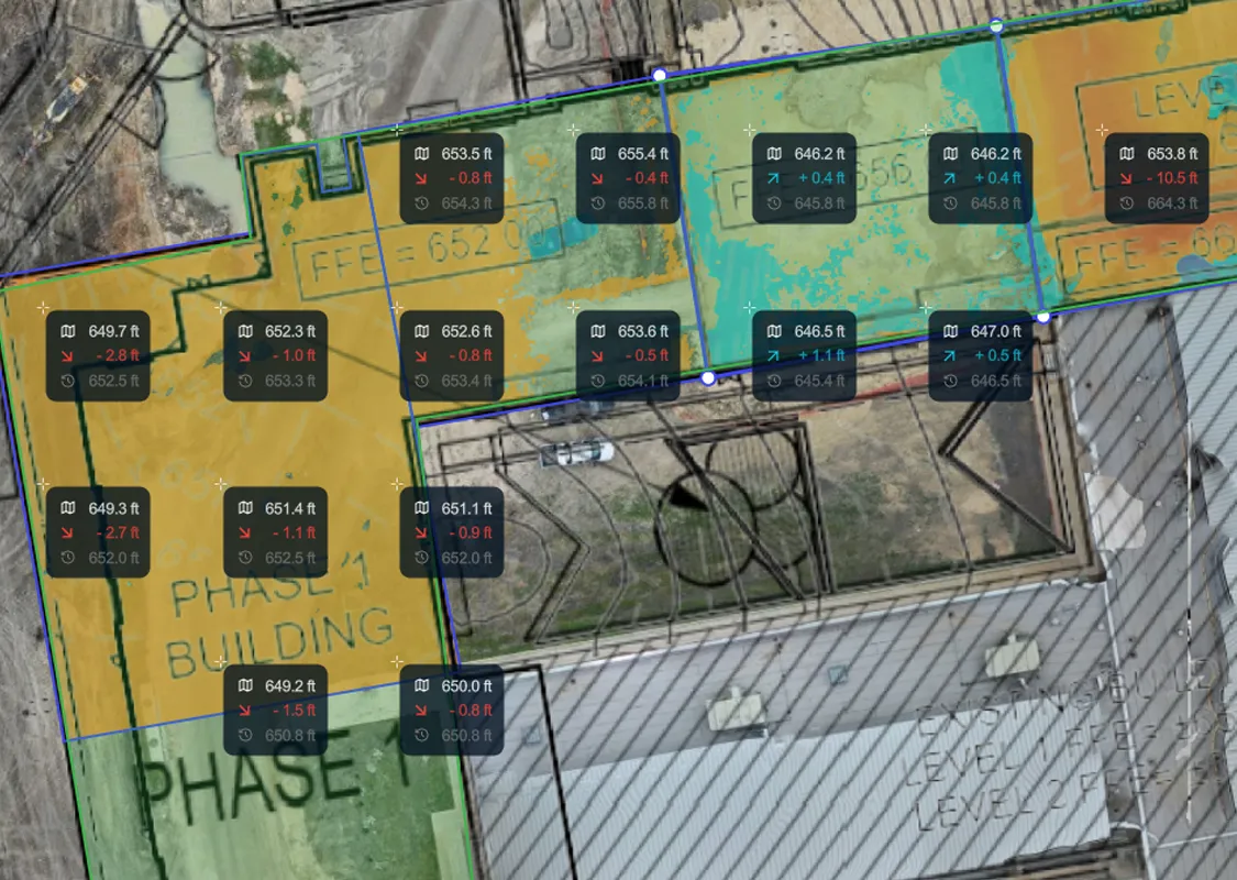
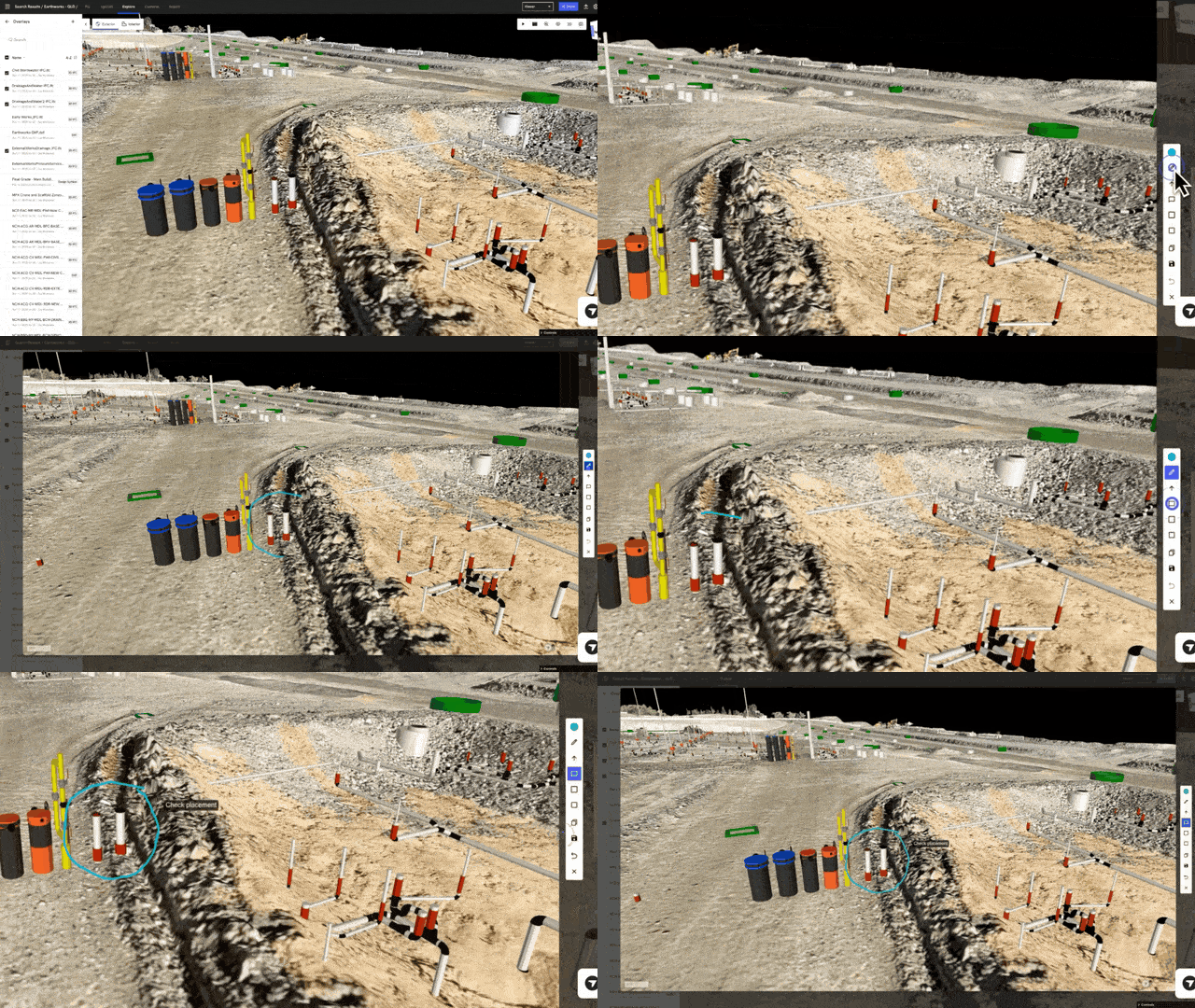
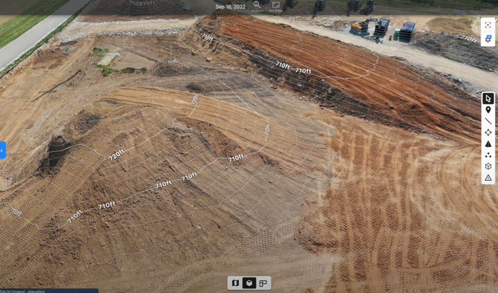
Compare progress to design, add overlays, report earthworks quantities or stockpile volumes, and document underground utilities. Capture survey-grade maps for decision-grade data.

04
Report:
Generate detailed reports, export to systems of record – or create a new report using AI.

05
Share:
Collaborate with your team with instant export tools and integrate your tech stack with our open APIs.

Easy and accurate drone flights
Dedicated Flight App for planning and mobile uploads
Multiple flight plan types – mapping, photos, panos, video and more
Support for drones from leading manufacturers
Survey-grade, high accuracy sub-inch mapping with RTK, PPK and GCPs
Support for custom coordinate systems
Professional services to capture drone data on your sites and projects
Pilot certification support and drone training available
.png)

.png)
.png)


Understand your sites like never before
.png)
.png)
.png)
.png)


Transform data into survey-grade maps and models
Compare changes over time with map comparison tools
Compare actuals to plans with overlays and 3D visualization tools
Fast and accurate insights with AI-powered intelligence
Quickly calculate volume, slope, elevation or distance
Auto-generate industry specific reports (stockpile, issue, progress, etc)
Generate live thermal maps and detect heat abnormalities

Tomorrow’s technology, today
Docked drones are the future – and DroneDeploy already supports the first wave.
These self-charging docks can be left on sites to perform scheduled flights and upload data automatically. No need to change batteries or SD cards – set them up once and you’re ready to start capturing.

DroneDeploy’s accuracy workflows have transformed how we scale. Automatic verification removes the data bottlenecks and delivers higher accuracy drone data, every time, with less effort.
Scott Brown
Construction Technology Manager, Garney Construction


