Get an accurate view of every roof you bid, build and maintain


.png)


.png)

.png)
.png)

.png)
%201%20(2).png)
Stop climbing every roof just to get basic data.
See the whole roof before you set a ladder.
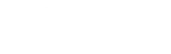
Quote with measurements, not guesses.
Bring evidence to every conversation.
Capture every roof from every vantage point

DroneDeploy Aerial
Need a full feature list and custom quote?
Build your roof survey fleet (or let us do it for you)
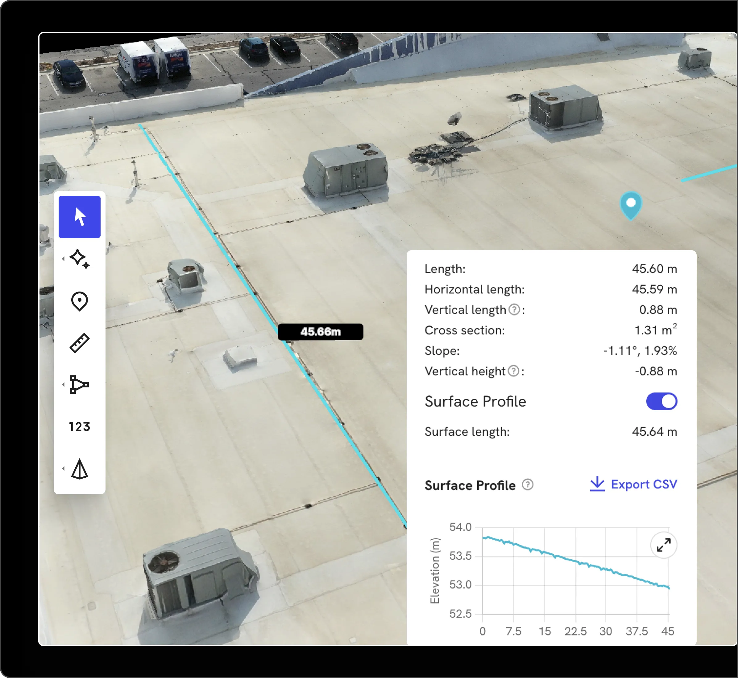
Drones
Our roof inspection software captures high‑res RGB and thermal data across commercial and residential roofs. We support leading enterprise‑grade drones, including simplified RTK/PPK workflows and automated GCP handling when survey‑grade accuracy is required.
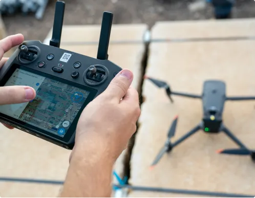
Data on demand
Need the data but don't have pilots or hardware yet? Use our services network to conduct drone roof surveys at the cadence you need, with processed maps, photos and reports delivered straight into your DroneDeploy account.
.png)
.png)


Is DroneDeploy the right fit for your operations?
You don’t. You can start with Data on Demand to order drone flights on‑demand, then introduce in‑house drones as your program grows.
If your team is still walking every roof for photos and hand sketches, you’re spending time and taking risk you don’t need to. DroneDeploy’s drone roof surveys give you repeatable captures, detailed reports and a permanent visual record you can reuse across sales, production and service.
DroneDeploy supports both. Contractors use it for single‑family homes, multifamily, retail, industrial and everything in between – anywhere accurate drone roof measurements, documentation and safety matter.
Yes. Enterprise roofing customers use DroneDeploy as a central platform for flight operations and data because it offers encrypted data at rest and in transit, role‑based permissions, and enterprise‑grade controls including SOC 2 and ISO 27001 certifications.
Yes. When you follow recommended capture practices, roof measurement reports provide highly accurate dimensions and areas that estimators and adjusters can rely on, backed by the underlying imagery.
DroneDeploy gives you “eyes on site” in 4K across every project. You can compare sites, approve work and prioritize remediation from your desk instead of flying to each location.
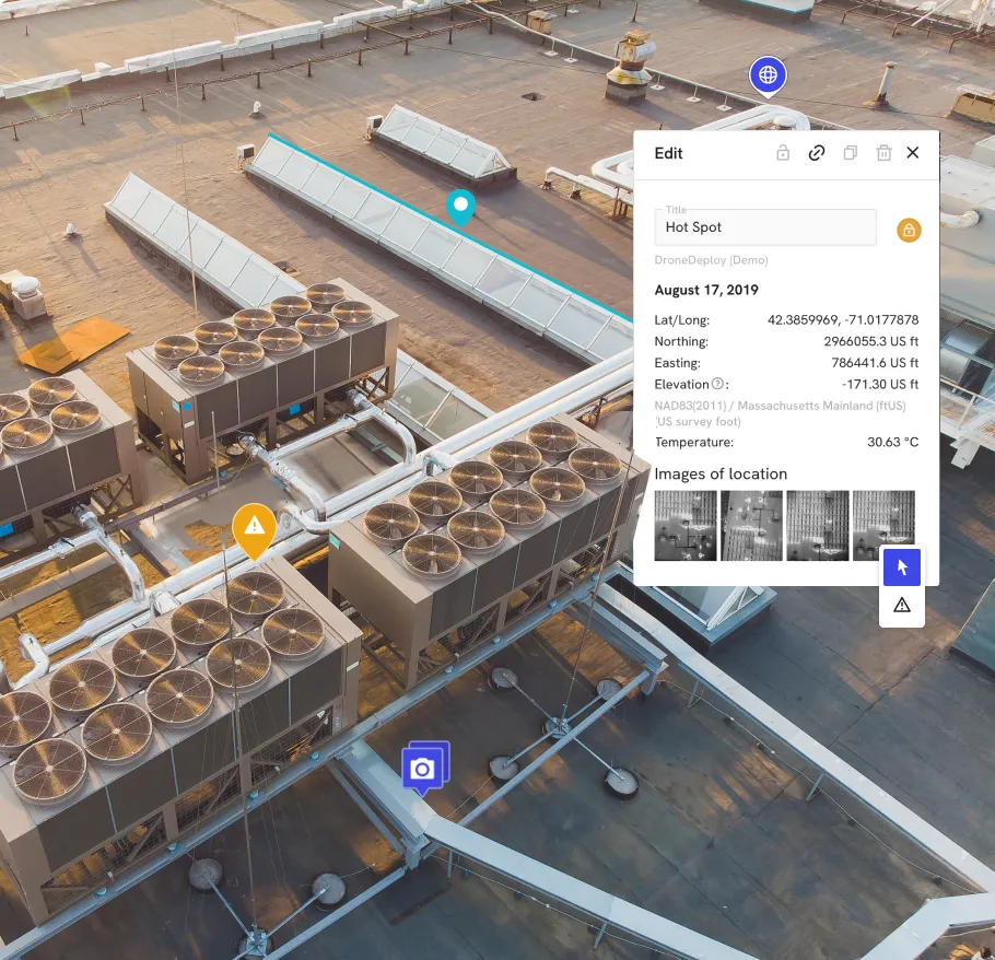
Thermal maps help you identify trapped moisture, wet insulation and hidden leaks that aren’t visible in RGB photos. You can prioritize repairs, confirm dry‑down and show clients exactly where problems exist.
DroneDeploy gives sales, production and service teams a shared, timestamped view of every roof. Field teams capture once; everyone else reviews from their desk, reducing repeat visits and miscommunication.


Getting started is simple. Request a demo today.