RTK vs PPK: Choosing the right GPS correction method for drone mapping
.svg)

Quick Summary
These days, high-accuracy mapping has become commonplace, but it's still easy to get lost in all of the different acronyms and concepts.
You may have heard of GCPs being used on your sites before, or you may have heard about others using RTK drone surveys to capture both RTK and PPK data. It doesn't matter where you started.
Let's take a step back and look at how these technologies differ and when to appropriately use them.
Understanding RTK and PPK technologies
RTK (Real-Time Kinematic) and PPK (Post-Processed Kinematic) are two methods for achieving high-accuracy drone mapping. Both use GPS corrections from a base station – but the timing is what sets them apart.
RTK processes corrections during flight, delivering real-time accuracy. It’s ideal for live use cases like construction tracking, where immediate data matters. RTK requires a stable connection – via radio or internet – to a base station or CORS network while the drone is in the air.
PPK, by contrast, applies corrections after the flight. It doesn’t rely on a real-time connection, making it more resilient on complex or remote sites. PPK is typically more accurate than RTK, especially in areas with poor signal coverage.
Both methods can tap into CORS data, but PPK is the safer bet when reliability and precision are critical, such as in large-area mapping or when network connectivity is spotty.

Basics of RTK (Real-Time Kinematic)
RTK (Real-Time Kinematic) is a GPS correction method that improves drone survey accuracy in real time. It connects survey drones to a base station or CORS network, correcting its position on the fly.
With RTK, there’s no need for post-processing – so you get faster results and fewer delays on-site. It’s ideal for construction mapping, earthworks tracking, and other jobs where quick, accurate data matters.
The catch? RTK needs a strong, stable connection. If the signal drops, so does accuracy.
Used in the right conditions, RTK makes drone mapping faster, safer and more precise, especially on connected construction sites.

Pros and cons of RTK
RTK delivers real-time GPS corrections, allowing for instant high-accuracy drone mapping – no post-processing needed. It’s ideal for fast-moving workflows like construction surveys, facade inspections or precision agriculture, where immediate data matters.
By reducing or eliminating the need for ground control points, RTK speeds up setup and simplifies fieldwork. But it comes with one key requirement: a stable connection to a base station or CORS network.
FYI: The DroneDeploy flight app includes RTK coverage and acts as a virtual base station when connected to wi-fi.
In environments with weak signal or heavy obstructions, absolute accuracy can drop – making RTK best suited for open, connected job sites.
Pro: Real-time data provision
The biggest benefit of RTK is speed. By delivering real-time corrections as the drone captures images, RTK gives teams immediate access to high-accuracy location data – no waiting, no post-processing. With automated corrections handled in-flight through a live link to a base station or CORS network, RTK simplifies fieldwork and cuts down on setup time. This allows crews to map faster and with fewer ground control points, streamlining workflows without sacrificing precision.
Con: Dependence on active network coverage
The main drawback of RTK is its dependence on a stable connection. For accurate real-time corrections, the drone must maintain a live link to a base station or CORS network throughout the flight. Signal disruptions – caused by trees, buildings, or terrain – can reduce absolute accuracy or halt data capture altogether. Without reliable connectivity or access to a nearby base station, RTK’s biggest strength – real-time precision – quickly becomes a limitation.
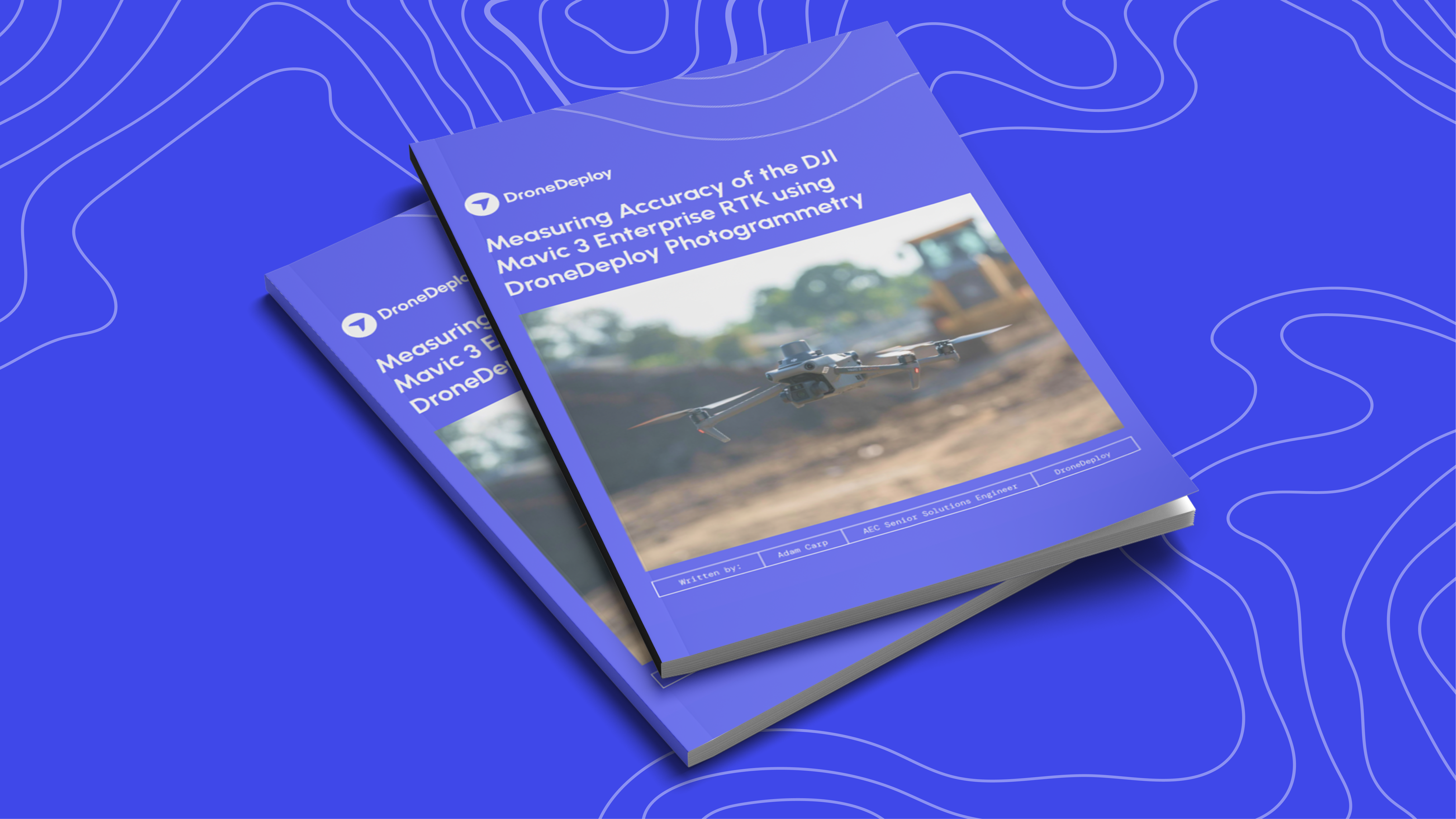
Learn more about measuring the accuracy of RTK in our recent whitepaper.
Pros and cons of PPK
PPK (Post-Processed Kinematic) is known for its accuracy and reliability, especially in environments where maintaining a live connection is difficult.
Since corrections are applied after the drone lands, PPK isn’t affected by signal drops, making it a strong choice for long-range flights, dense construction zones, or BVLOS operations. It simplifies field setup – no need for a constant telemetry link – but does introduce added steps after capture.
Teams will need to process data using specialized software, which can add time and cost to the workflow. PPK is all about accuracy without real-time pressure, ideal for projects where post - processing is a fair trade for robust results.
Pro: Higher accuracy potential
The biggest strength of PPK is its consistently high accuracy, even without a live connection. By applying corrections after the flight, PPK avoids signal dropouts and environmental interference – making it more reliable in complex or remote areas. It can achieve centimeter-level precision and significantly reduce the need for ground control points, all while maintaining a high level of accuracy.
For teams focused on precision over speed, PPK offers a dependable solution that holds up under real-world conditions.
Con: Slower turnaround and added complexity
The main downside of PPK is the slower turnaround. Since corrections are applied after the flight, teams must process the data before it’s usable – often with specialized software that adds cost and complexity. As a result, pilots need longer flight time for more accurate corrections, on average it takes roughly 10 minutes minimum.
This delay makes PPK less ideal for fast-moving projects that need real-time insights, and it can be a challenge for teams without experience in post-processing workflows.
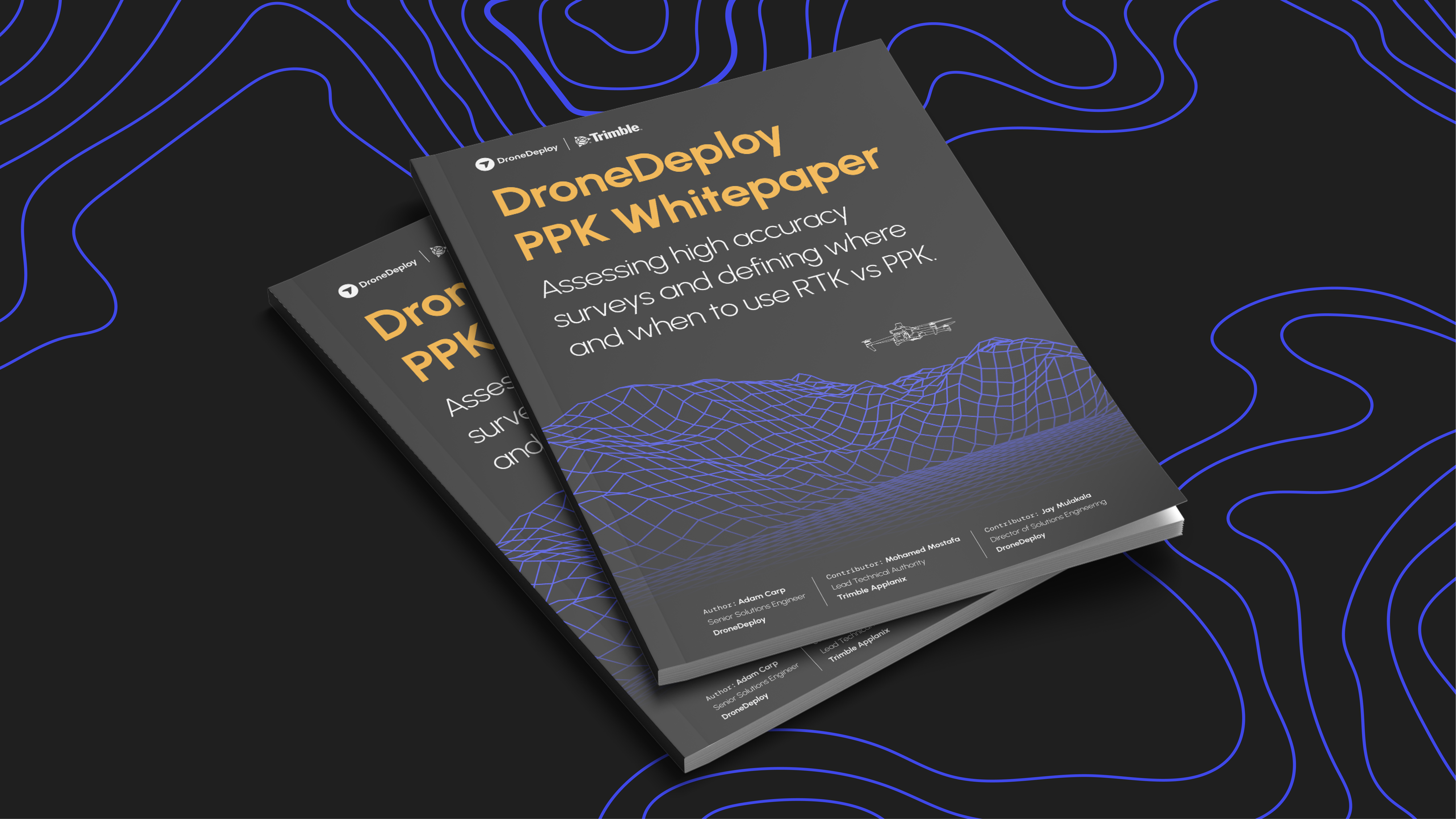
See PPK put to the test in our PPK Whitepaper in partnership with Trimble.
Key differences between RTK and PPK
While both RTK (Real-Time Kinematic) and PPK (Post-Processed Kinematic) offer centimeter-level accuracy for drone mapping, the biggest difference comes down to when and how GPS corrections are applied.
RTK processes provides real-time corrections, giving teams immediate access to accurate data during flight. PPK, on the other hand, applies those corrections after the flight – making it more flexible, but slower to deliver final results.
Here’s how they compare:
- Timing:
- RTK applies corrections during flight
- PPK applies corrections after the flight
- RTK applies corrections during flight
- Connection Requirements:
- RTK needs a constant radio or internet link to a base station or CORS network
- PPK works offline – no live connection needed
- RTK needs a constant radio or internet link to a base station or CORS network
- Speed vs. Robustness:
- RTK is faster – great for real-time decisions
- PPK is more resilient – ideal for remote or complex sites
- RTK is faster – great for real-time decisions
- Infrastructure Needs:
- RTK requires a live base station setup, or a wi-fi connection during flight using the DroneDeploy Aerial app.
- PPK does not need one on-site
- RTK requires a live base station setup, or a wi-fi connection during flight using the DroneDeploy Aerial app.
- Accuracy:
- Both offer high precision, but PPK can edge out RTK in environments with signal disruption
In short, RTK is built for speed, while PPK is built for reliability – your choice depends on site conditions and how quickly you need results.
Learn everything you need to know about high accuracy mapping here:
Correction timing: Real-time vs post-processing
One of the most important differences between RTK and PPK is when corrections to GPS data are applied.
RTK (Real-Time Kinematic) delivers corrections during the flight, allowing the drone to capture accurate location data in real time. This means faster access to results, which is ideal for time-sensitive work like construction progress tracking or emergency inspections. However, RTK relies on a stable live connection – if that link drops, accuracy can suffer mid-flight.
PPK (Post-Processed Kinematic) takes a different approach. It applies corrections after the flight, allowing data to be processed in a controlled office environment. This makes it more resilient to signal issues and often more accurate – especially over long distances or in complex environments.
PPK systems can typically support longer baselines, sometimes up to 100 km, giving teams more flexibility in the field without sacrificing precision.
In short:
- RTK = faster access to data, but connection-dependent
- PPK = more robust accuracy of drone surveying, but with delayed results

Infrastructure and connection requirements
RTK and PPK differ significantly in what they require to function accurately in the field.
RTK systems need a live, consistent connection to a base station or a network like CORS (Continuously Operating Reference Stations). The base station must be placed at a known position, and any drop in the connection during flight can impact data accuracy. To ensure reliability, teams often set up an on-site third-party base station if a stable network link isn’t guaranteed.
PPK, by contrast, is more forgiving. It doesn’t require a live consistent connection during flight, which makes it especially valuable in areas with limited or no connectivity. Data is captured first and corrected later, reducing the risk of signal-related errors and offering more flexibility in remote environments.
In short:
- RTK depends on real-time network or base station access
- PPK operates independently of live connections, making it ideal for low-signal job sites
RTK use cases: precision that delivers in the field
RTK drone technology is transforming how industries collect and act on location data. By providing real-time GPS corrections, RTK enables fast, accurate decision-making across high-impact sectors – from construction and mining to public safety and inspections.
Public safety and emergency response
RTK-enabled drones have become vital tools for public safety agencies, providing live, high-accuracy positional data that supports rapid response without exposing teams to unnecessary risk.
Fire departments use RTK drones to gain aerial situational awareness during large-scale emergencies, allowing crews to assess hazards and plan safer interventions. Law enforcement teams deploy these drones to track fugitives or locate missing persons, using precise, real-time location data to narrow search areas and accelerate recovery efforts.
In disaster zones, RTK drones support emergency responders by mapping structural damage and identifying safe entry points – reducing the need for manual risk exposure. The ability to stream accurate geospatial data in real time helps teams make faster, more informed decisions when every second counts.
Real-time remote inspections
For industries like energy, mining, infrastructure, and manufacturing, RTK drones streamline inspections by combining speed with pinpoint accuracy.
Teams can detect structural defects, equipment wear, or environmental hazards during the flight – without needing to wait for post-processing. This immediate feedback enables maintenance teams to act quickly and reduce the risk of equipment failure. RTK’s precision allows inspectors to assess complex sites remotely, cutting down on manual site visits and improving safety in hazardous environments.
Even in adverse conditions – such as poor weather or obstructed terrain – RTK drones maintain reliable real-time positioning, ensuring inspection data remains consistent and actionable. By delivering real-time insights, RTK reduces downtime and boosts operational efficiency across critical infrastructure.
PPK use cases: flexible accuracy for complex projects
PPK (Post-Processed Kinematic) is a powerful alternative to RTK, especially in environments where signal reliability is a challenge or longer-range flights are required. By applying GPS corrections after data capture, PPK offers a more flexible, reliable workflow – making it a go-to choice for large-scale mapping and high-precision land surveying.
Large-scale mapping
For expansive mapping projects – such as infrastructure development, corridor mapping, or agricultural land surveys – PPK is often the preferred method. Because it processes data post-flight, PPK eliminates the risk of signal dropouts affecting accuracy, making it ideal for Beyond Visual Line of Sight (BVLOS) operations or missions over dense terrain and variable topography.
Where RTK may struggle with connection stability in urban environments or over long baselines, PPK maintains consistent accuracy by correcting data after capture. This allows teams to map large or remote areas with fewer ground control points and greater confidence in data integrity, even when flying at extended distances.
High-precision surveying projects
PPK is well-suited for detailed land surveys, volumetric analysis, and cut/fill calculations, where accuracy matters more than immediate results. By removing the need for a constant telemetry link between the drone and a ground station, PPK simplifies setup and reduces the risk of signal interference – especially in obstructed or rugged areas.
In these workflows, PPK enables survey teams to focus on capturing data without worrying about live connectivity issues. Once the flight is complete, corrections are applied with greater control and precision back in the office, ensuring centimeter-level accuracy for deliverables.
PPK also serves as a dependable fallback option when RTK connections are unstable, giving teams a reliable backup to maintain accuracy standards without rescheduling flights or redoing missions.
Learn everything you need to know to start creating high-accuracy maps
Impact on Ground Control Points (GCPs)
One of the biggest time-savers with RTK and PPK drone mapping is the reduced reliance on Ground Control Points (GCPs). Traditional photogrammetry workflows often require setting out multiple GCPs across a site – an effort that adds hours to survey prep.
With PPK, many projects can be completed with as few as one ground validation point, drastically cutting setup time. This is especially useful on large or hard-to-reach sites where placing GCPs is difficult or unsafe. RTK can also reduce or eliminate GCP requirements, but only when a stable, real-time connection is maintained throughout the flight.
While both methods can operate independently of GCPs, combining RTK or PPK with a few well-placed control points can further improve accuracy. GCPs act as a ground-truth reference, helping validate and fine-tune data – particularly important for survey-grade deliverables or projects requiring legal documentation.
In short, RTK and PPK make mapping more efficient by minimizing GCP dependence – without compromising on precision.
Learn more about improving the accuracy of your maps in our recent Reality Capture LIVE session:
Factors to consider when choosing between RTK and PPK
Both RTK and PPK deliver survey-grade accuracy, but the right choice depends on your project’s scope, location, and speed requirements.
RTK is ideal for jobs that demand real-time data access, such as active construction monitoring, rapid inspections, or progress tracking. With a reliable connection to a base station or CORS network, RTK allows teams to make immediate decisions on-site and simplifies the overall field workflow. However, its effective range is limited – accuracy begins to taper off beyond 35 km from the correction source.
PPK, by contrast, offers more flexibility and control. Because corrections are applied post-flight, it performs well in remote or obstructed areas where maintaining a live signal is difficult. PPK can handle longer baselines – up to 100 km – and is more resilient to connection issues, making it a smart choice for large-area or BVLOS surveys.
In short:
- Use RTK when you need speed and real-time feedback, and have stable connectivity.
- Use PPK when you need maximum reliability, especially on complex, remote, or large-scale sites.
Ultimately, your decision should reflect your site conditions, infrastructure availability, and how quickly you need access to accurate data.
Looking for more guidance on when to use PPK or RTK? Contact a member of our team.
.png)
FAQ


Ready to manage your data from the very start?
Book a quick call to see how DroneDeploy streamlines capture from construction through building ROI.