New research published in the Frontiers in Forests and Global Change Journal suggests forests keep our climate over half a degree cooler. These canopies, understandably, provide tremendous value to us — filtering the water we drink, cleaning the air we breathe, and creating jobs for over 1.6 billion people. And that’s not even to mention the obvious, which includes fostering habitat for nearly eighty percent of our terrestrial biodiversity.
In Colombia, One Tree Planted supports agroforestry projects that include food-producing trees.
One of our current DroneDeploy.org partners, One Tree Planted, is a nonprofit organization focused on reforestation. The group works to connect funding and resources to local forestry projects all over the world. Their projects aim to restore degraded land, benefit local communities, and overall, increase the biodiversity of our planet. To do so, One Tree Planted uses a host of technology to help the organization scale its global reforestation program.
Since joining forces with DroneDeploy, drone technology has quickly become an important tool for One Tree Planted’s monitoring program. Ross Bernet, Forestry Specialist, manages this effort and has been using DroneDeploy for almost one year. “One of the most exciting pieces of this platform is the ability to view changes over time. It allows us to really see how the trees are growing in the weeks, months, and eventually years after the trees are planted,” Ross states. In sum, the organization uses DroneDeploy’s plant health and elevation layers to add greater insights to its on-the-ground partners.
Hackathon for Good
Twice a year, DroneDeploy employees allocate three-day working sessions to brainstorm and eventually develop new features and products related to the software. These “Hackathons,” hosted by product engineers, explore new and innovative ways to better support our clients and partners. Just earlier this year (2022), engineers created a system for counting seal populations with artificial intelligence — which means that addressing reforestation challenges via a suite of technology tools was no match for our talented team.
Trees start at a nursery before being transplanted to projects sites.
This year, the group specifically focused on identifying features within the platform that could aid One Tree Planted in its various ecosystem comprehension processes. Since both tree height and canopy are essential indicators of growth used frequently in forest monitoring, DroneDeploy engineers set out to expedite the long, laborious process of on-the-ground measurements.
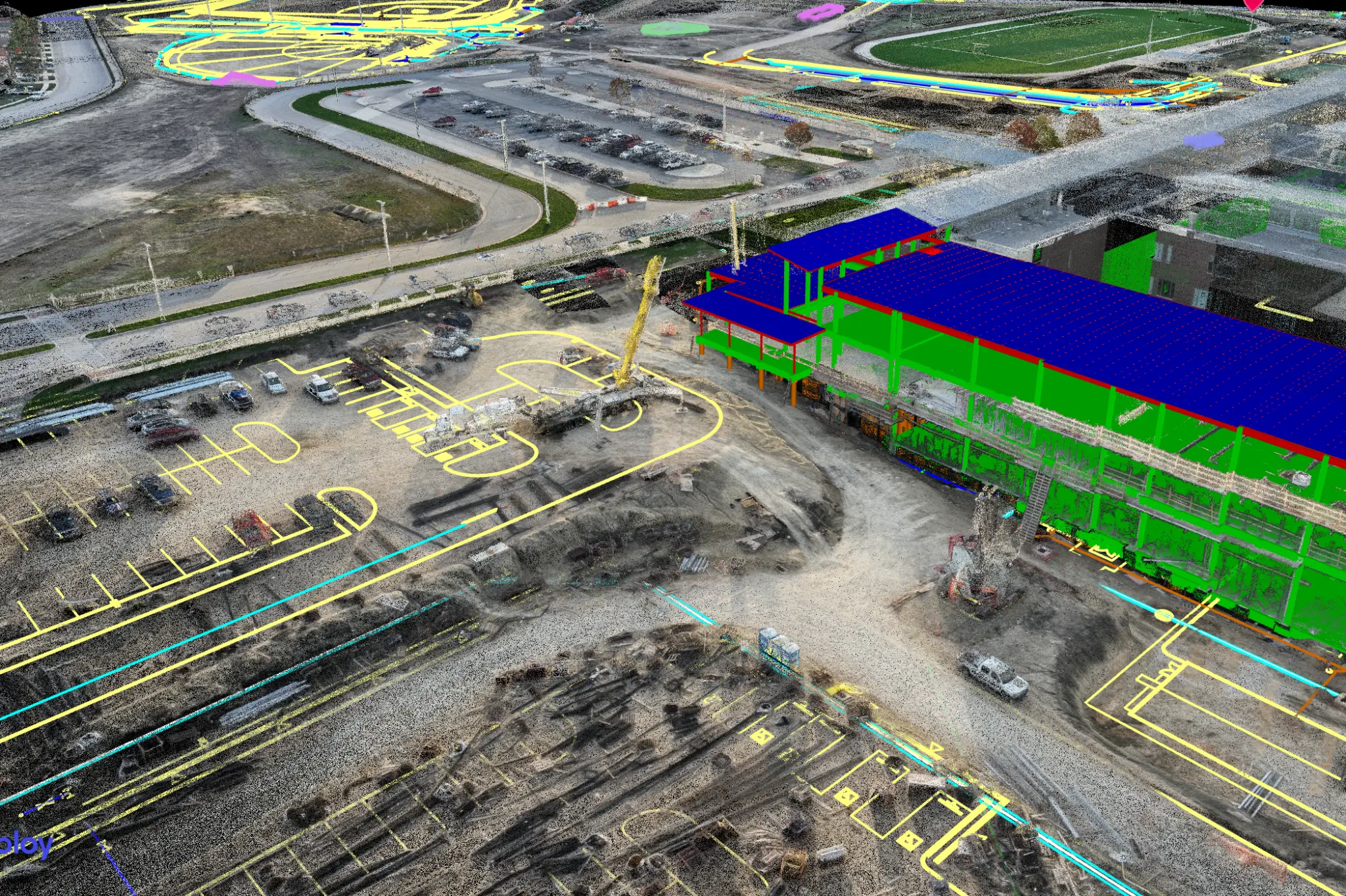
The DroneDeploy team used our 3D annotation tools to create volume estimates for growing trees. Using circular annotations that estimated plant height, they were able to show the growth of trees over time since planting. They also experimented with additional ways to measure canopy and aboveground tree biomass.
A Path Towards Carbon Markets
As an exciting bonus, this research also adds to some of the earliest building blocks begun by similar services for measuring carbon with remote monitoring and analytics. Historically, this has only been done through destructive sampling and processes that take lengthy fieldwork. In time, and with further research, we share One Tree Planted’s hope that remote monitoring will give more clarity and insight to aid on-the-ground practitioners. Measures of tree canopy size, as well as tree height, can together give species-specific carbon calculations. This has the potential to open up new markets and opportunities for replanting and together, accelerate the much-needed work of protecting and restoring the Earth’s natural resources.
One of the most exciting pieces of this platform [DroneDeploy] is the ability to view changes over time. It allows us to really see how the trees are growing in the weeks, months, and eventually years after the trees are planted.
Ross Bernet, Forestry Specialist, One Tree Planted
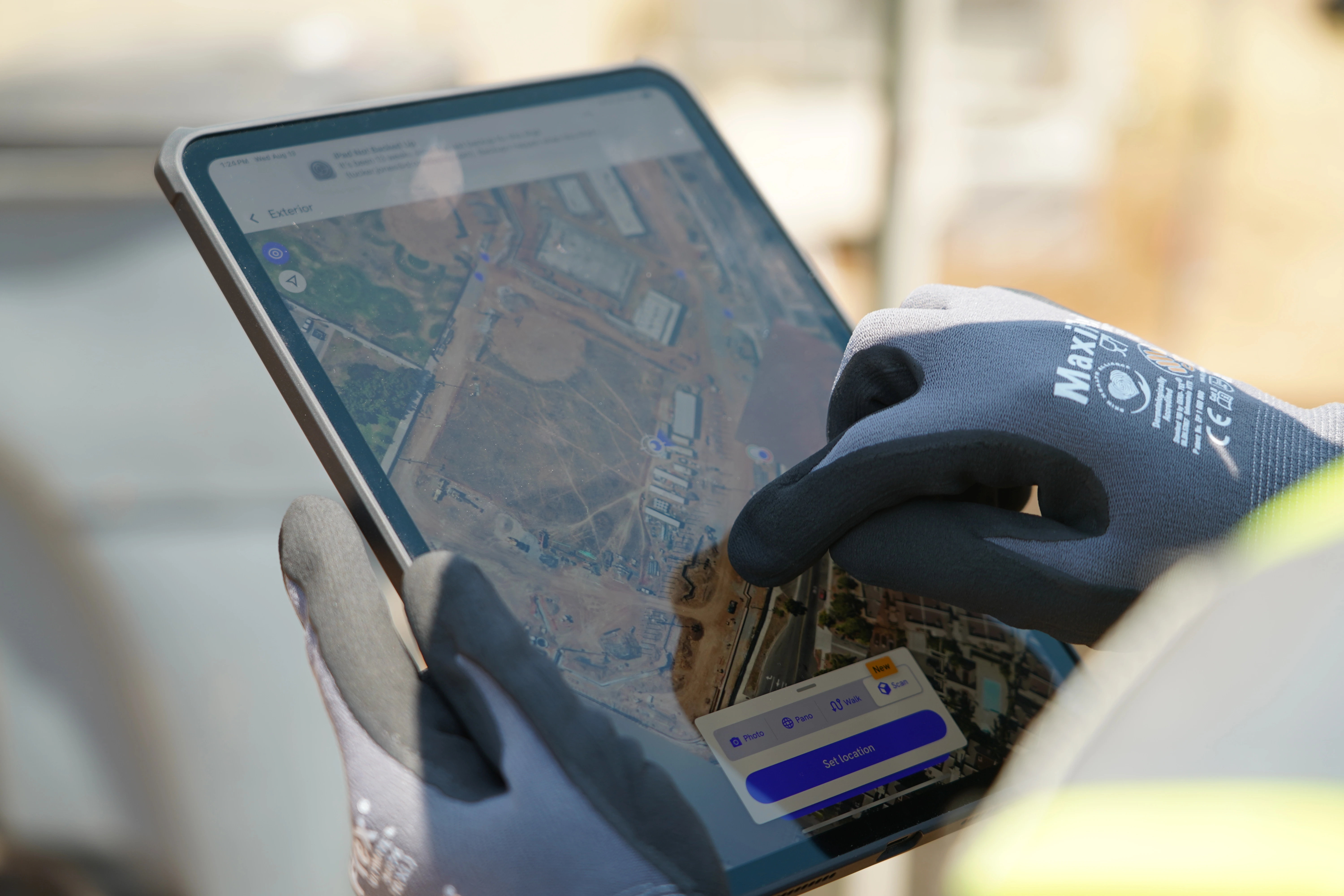
Malcolm Porteus González, Project Manager at One Tree Planted, finishing a drone survey.
Making an Impact, the DroneDeploy Way
This project adds to a long history of applying our software to conservation and humanitarian challenges. Another recent DroneDeploy hackathon project used AI to count endangered seals. Neil Halelamien, a Senior Software Engineer at DroneDeploy, is thrilled to have contributed to the project. “Our team was able to work on a really interesting project with a real-world impact. It’s energizing to see how our software can contribute to solving environmental problems.” Neil explained.
DroneDeploy.org partners with organizations around the world to turn insight into opportunity and deepen our understanding of the natural and physical world. If you’re interested in drone data for conservation, learn more and apply for a partnership at DroneDeploy.org.
If you or an organization you know may be interested in utilizing drones in a nonprofit, apply to our nonprofit program here.