Construction: April 2023 Product Release
.svg)

Quick Summary
DroneDeploy’s newest product releases are here! These updates will make your AEC workflows more unified, automated and intelligent.
We’re excited to announce the industry's first instant RTK workflow for the DJI Mavic 3 Enterprise (M3E). Our new flight application for the M3E allows customers to automatically connect to local high-accuracy corrections networks covering 80% of flights.
We’re also continuing our rapid integration of StructionSite and improving our Walkthrough product with new features, including a drawing-oriented view for interior data.
In addition, new high-res processing capabilities are now available for customers who want the best 3D reconstruction you can buy. This new processing mode harnesses our next generation photogrammetry engine and most powerful cloud computing available to create the best possible 3D models from your imagery.
To hear about these updates from the DroneDeploy Product Managers, be sure to join our LinkedIn live event on Thursday, April 20 at 2 p.m. EST/11 a.m. PST. Read on for the full breakdown of the release.
More Unified
All your reality capture data across the asset lifecycle, accessible with one login.
StructionSite Admin Panel updates
The Admin Panel is an internal and external tool for enterprise, project & user management. This update allows Enterprise Admin users to:
- Archive projects. Declutter your workspace and improve overall organization.
- Disable users. Improve security by revoking access for unauthorized users.
- Bulk actions. Simplify user management by taking multiple actions at once.
Change projects’ “Pre-con” status. Report more accurately on active projects.

Drawing-oriented view
For customers capturing interior data on projects, you can now toggle between drawing-oriented view (optimal for viewing interior floor plans) and map-north view for context of the surrounding area.
Note: This feature will be fully rolled out by the end of April.

Web improvements
- Single media share. You can now share a single progress photo, pano, map photo or Walkthrough frame. This is a simple way to share specific data with external or internal stakeholders.
- Level details. Quickly determine which captures (Walkthroughs, panos, progress photos) have been performed on a given level, and the most recent date of capture.
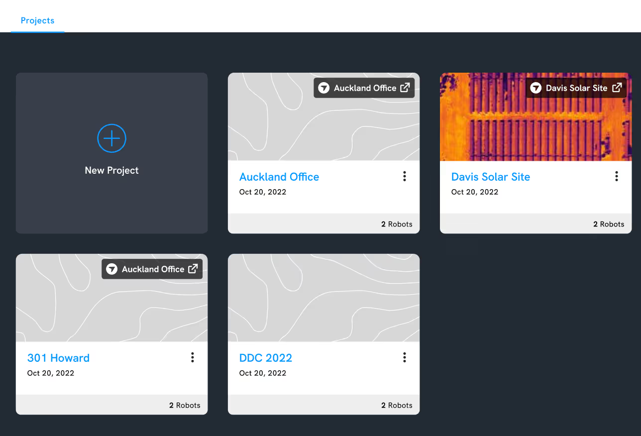
Project list details
We’re adding project capture information to single projects and folders on the project list page, including the total number of captures, total members, and the last capture date on a project. This will help project coordinators and administrators (e.g. superintendents, project managers, VDC managers, BIM managers) to quickly access important project information.
Note: This feature will be fully rolled out by the end of April.
Robotics
Now, in addition to logging into the Robotics portal with your DroneDeploy login, you can link your Robotics project with a DroneDeploy project, and vice versa. Linked projects will have the same permissions across both applications, with Robotics respecting the permissions set up in DroneDeploy.
With all of your data in one place, you can access projects from a single login for everything DroneDeploy. Your existing SSO and preferred login methods with multi-factor authentication can be used across the Robotics and DroneDeploy platforms.
More Automated
Convenient, scalable data collection without putting field teams in harm’s way.

Automated VideoWalks in StructionSite
Inspecting construction sites manually is expensive and time-consuming. Now you can use robots to perform automated VideoWalks of your construction sites and upload this data to the StructionSite platform. Not only does this save employees’ time, it also means you can remotely inspect any job site without needing to travel there.
Robots can even be left on-site to perform VideoWalks overnight, so your project data is ready for review first thing in the morning. By scheduling robots to perform regular and autonomous missions, you can validate completed work, track construction progress and find potential issues early. This helps you avoid the risk of expensive rework.
Learn more about our latest automated product updates here.
More Intelligent
AI-driven insights that provide real value for your business.
Autonomous RTK flight on the DJI Mavic 3E
High-accuracy mapping just got an upgrade. Autonomous RTK flight is now available on DroneDeploy for DJI’s newest flagship enterprise drone, the Mavic 3 Enterprise (M3E). Now you can easily plan autonomous missions without GCPs or time-consuming manual methods, and collect more accurate and consistent data on your jobsite or project.
DroneDeploy's new flight application for the M3E allows you to automatically connect to local high-accuracy corrections networks for free, reliable RTK coverage across the USA. Instantly connect to RTK as soon as your drone is powered on and connected to DroneDeploy, with no additional app or external credentials required.
With this update, you can now plan and execute M3E flights with RTK corrections directly from the RC Pro Enterprise smart controller. Alternatively, plan your flight from the comfort of your office with desktop flight planning, including RTK availability confirmation for your project. Two convenient ways to start creating maps accurate to less than an inch, without GCPs.
In early May, DroneDeploy will also be rolling out Vertical Datum support. RTK data uploaded to DroneDeploy will be automatically converted to ITRF2014 ellipsoidal height to local orthometric height, using the most up-to-date local Geoid Model. This will enable customers to immediately compare RTK data over time, or to engineering design data in State Plane and NAVD88.
For an in-depth analysis of the accuracy of the M3E RTK using DroneDeploy, read our whitepaper.
RTK data will help you to more rapidly perform accurate workflows like:
- Stockpile measurements and volumetrics
- Topographic survey
- Precise surveying for pre-construction
- Cut/fill volume accuracy
How to download DroneDeploy for the M3E on the Amazon Appstore.

High-resolution processing
For customers who want the best 3D reconstruction you can buy, we’re excited to announce “Hi-Res Mode” processing for Enterprise. This new processing mode harnesses our next generation photogrammetry engine and our most powerful cloud computing available to create the best possible 3D models from your imagery. Make the most of your high-resolution cameras such as the Zenmuse P1, Phase One or large format cameras. Notable features include:
- 6x point cloud density + fine-structure detail on all drone maps
- GPU-powered processing on massive cloud servers
- Photo-resolution 3D model textures (e.g. DJI P1 & Phase 1)
- Support for large format cameras (e.g. Phase 1)

Smart Uploader enhancements
Simplify your media upload process with the new Smart Uploader functionality. We’ve made updates to ensure a more reliable and user-friendly experience.
- Create a new project by uploading image-based data. When you drag and drop any image-based (map, pano, photo group, facade) files into Smart Uploader, it will automatically identify the location of the project and ask you to name it. This speeds up project creation for plans flown outside of DroneDeploy.
- Merge plans that were separated in Smart Uploader. The Smart Upload process is now more flexible than ever. When you upload a photo plan, you can now select Merge Plans to merge two detected photo plans into one.
- Pause and resume upload later. Eliminate frustration from attempting to upload on low bandwidth in the field. With this update, you can pause and resume an upload at a later time when you have access to a faster connection.
- Upload Walkthroughs. Users can now upload Walkthrough files (.insv) captured outside the Walkthrough app through the Smart Uploader.
That’s it for our April product release – as always, we’re continually striving to improve and hope these updates have a positive impact on your workflows.
Missed our Previous Updates?
Find out how we’ve improved DroneDeploy in recent months:
.png)
FAQ
Related articles


Ready to manage your data from the very start?
Book a quick call to see how DroneDeploy streamlines capture from construction through building ROI.