What will you learn?

The basics of high-accuracy mapping
Learn how to use ground control points (GCPs), PPK and RTK to achieve highly-accurate drone maps.

Workflows for achieving high-accuracy
Discover specific workflows for achieving high-accuracy using a variety of different tools.

High-accuracy use cases in your lifecycle
Explore how to make the most of your high-accuracy drone maps in DroneDeploy.
Why high-accuracy is important
Gain complete confidence in map alignment
Provide clear progress reporting for key stakeholders
Align maps with the real-world so you can verify work
Easily share data with stakeholders
Simplified, yet accurate measurements and analysis

Determining the correct elevation via DroneDeploy tools was crucial, because if we were off by a few inches, we could’ve had a huge environmental disaster on our hands.
Wilson Haworth - Juneau Construction
VDC Manager
Unlock the power of high-accuracy drone mapping to your site
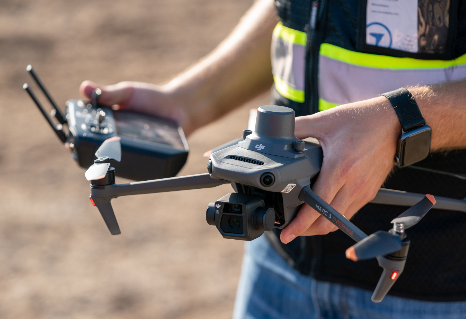
Drones are fast and efficient tools for creating 3D maps or models of job sites using overlapping georeferenced photos. But without accuracy, all you have is beautiful imagery – you miss the opportunity to do deeper data analysis.
Drone photogrammetry that achieves inch or sub-inch accuracy unlocks valuable use cases like earthworks measurements, QA/QC analysis and understanding change over time.
Download the guidebook to bring high-accuracy mapping to your project.
Drone photogrammetry that achieves inch or sub-inch accuracy unlocks valuable use cases like earthworks measurements, QA/QC analysis and understanding change over time.
Download the guidebook to bring high-accuracy mapping to your project.
Fill out our form to access the guide