How to make accuracy the foundation of your drone program
.svg)
Quick Summary
Accuracy is no longer optional. DroneDeploy makes decision-grade drone mapping scalable, fast, and fault-tolerant – so you catch costly mistakes before they hit your bottom line.
You don’t need more tools. You need fewer questions and faster answers for every pilot and every project
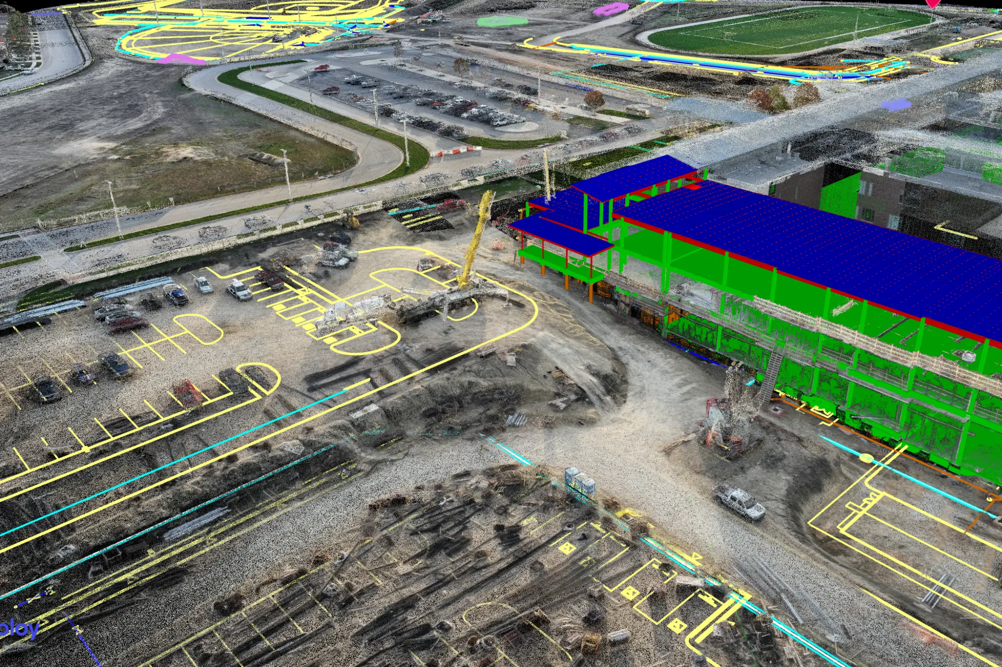
In construction, inches turn into change orders. Small errors snowball into rework, blown budgets and disputes no one wants to arbitrate. That’s why DroneDeploy is making accuracy the default.
We’re making it possible to scale high-accuracy mapping to every project and every pilot, because reality capture isn’t about pretty maps. It’s about decisions.
DroneDeploy turns drone maps into decision-grade evidence without slowing your team down.
Why now?
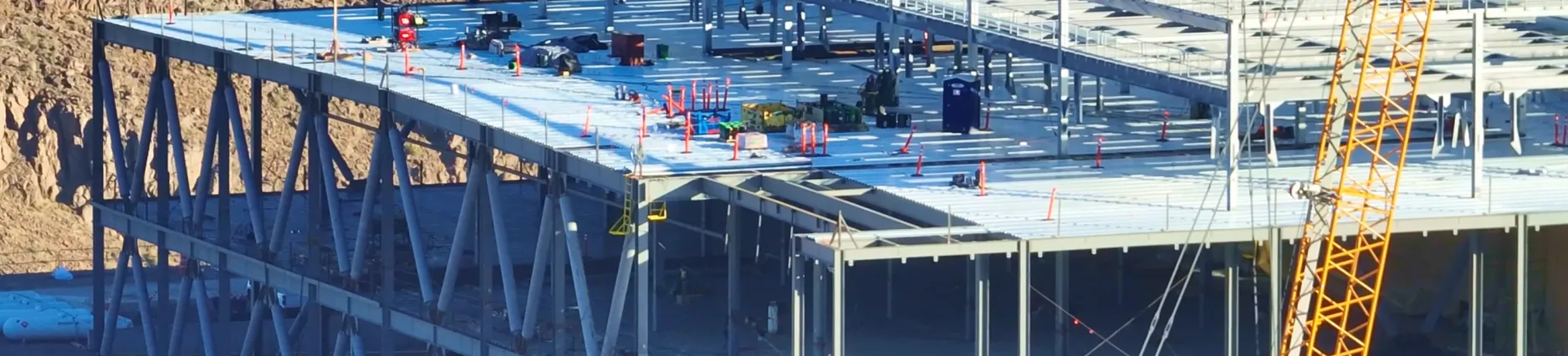
Project teams are flying more than ever – across more sites, more frequently and with less time to QA maps before the data hits reports. At the same time, precon, VDC and field teams are being asked to do more with less. You need scalable tools that work the first time, and DroneDeploy delivers.

Built for builders
We bring together best-in-class photogrammetry, automated accuracy governance and expert guidance so your field teams can spend less time troubleshooting and more time focusing on the work that matters.
Here’s what we deliver:
→ Up to 3× finer map detail, processed 25% faster for the highest accuracy processing in the least amount of time.
→ Automatic GCP tagging – no manual clicks, no late-night uploads. Review maps with confidence the next morning.
→ Every map reviewed to catch silent failures before they go downstream. Complex issues are routed to geospatial specialists for resolution.
→ Expert coaching, onboarding and training make best practices the default
→ Cut/fill grid views by location, with quantities tied to design for faster, cleaner earthwork reporting and progress tracking.
Accuracy at every phase
Preconstruction
Eliminate bid-day surprises. Align site reality to your design models and show owners clear, measurable progress from day one. One GC avoided a $30K+ material shortfall when a volume miss was flagged on a grading takeoff.
Earthworks & Civil
Track cut/fill progress down to the region of interest. In one instance, $50K rework was avoided when a 4cm surface misalignment was caught before asphalt went in.
Underground Utilities
Use accurate map overlays to prevent strikes and communicate utility placement to the field. The result? Safer digs, better records, and less finger-pointing.
Scale without sacrificing accuracy
Most platforms expect your surveyors or tech specialists to shoulder the accuracy burden. DroneDeploy flips that. We’ve embedded accuracy into the workflow – with automated checks, expert feedback and consistency across every operator and jobsite.
You don’t need more tools. You need fewer questions and faster answers.
Ready for a new aerial standard? Get in touch with us.
.png)
FAQ


Ready to manage your data from the very start?
Book a quick call to see how DroneDeploy streamlines capture from construction through building ROI.