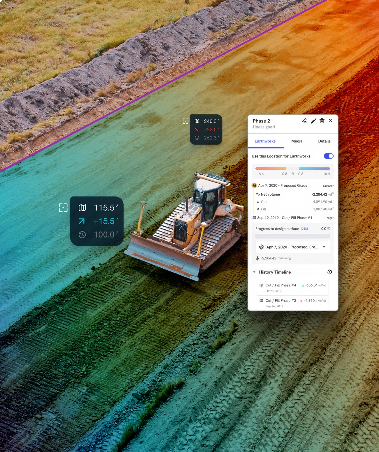
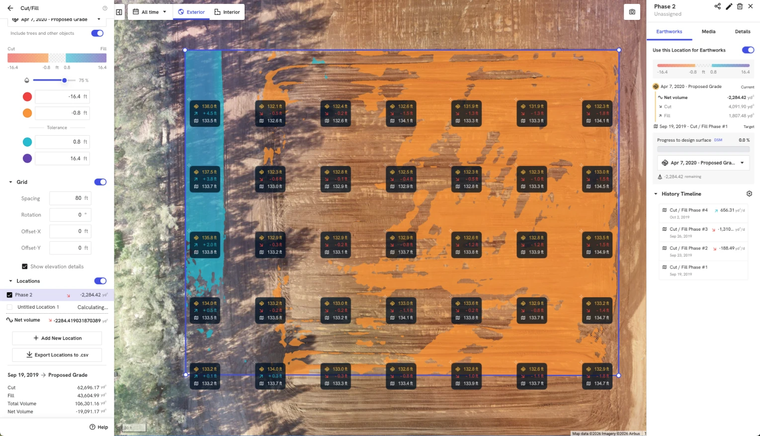
Get an accurate view of material moved





Save $10,000 for every $1 million spent on construction
Documentation & disputes
Remote
visibility
Schedule
& planning
Capture from every vantage point

DroneDeploy Aerial

DroneDeploy Ground

Accuracy is the foundation

Read our High Accuracy Photogrammetry white paper









.png)
.png)


.avif)
%20(1).png)
Need a full feature list and custom quote?
Build your fleet (or let us do it for you)
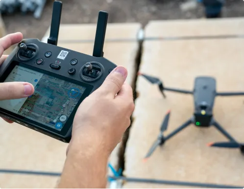
Drones
Our software integrates with the top drone manufacturers so you can generate survey-grade maps with ease.
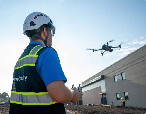
Data on demand
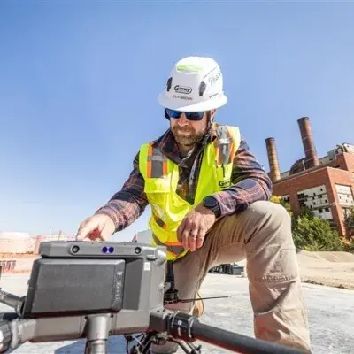
Need the data but don't have the manpower or hardware? Skip the hardware entirely. Tap into our professional network to capture your site from any vantage point, at any frequency.
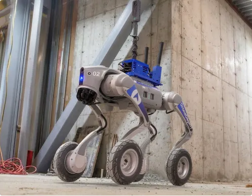
Docks and robots
Our reality capture software integrates with leading drone docks and ground robots like the Unitree Go2 to keep your visual record updated automatically.
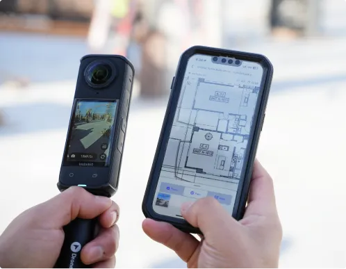
360 cameras
Our photo documentation software supports the most trusted 360-degree cameras to map your site walks directly to your site plans.
.png)
.png)







Is DroneDeploy the right fit for your operations?
It’s built for the entire project ecosystem. While GCs use it for site-wide oversight, civil contractors use DroneDeploy to track earthworks progress, document underground utility as-builts, and ensure design intent matches reality.
You don't need them. With DroneDeploy’s Data on Demand team, you can simply request a flight and a professional, certified pilot will handle the capture for you.
You get survey-grade maps and 3D models delivered directly to your account without ever having to touch a controller or manage a fleet.
DroneDeploy acts as the visual layer. Maps, 360 photos and issues can be linked into your CDE, GIS and reporting tools so project teams, executives and auditors are all pointing at the same record. Export DEM/DSM files and cut/fill quantities to downstream CAD software like Trimble, Leica and Topcon.
Yes. Customers use DroneDeploy as a central platform for flight operations and data because it offers encrypted data at rest and in transit, role‑based permissions, and enterprise‑grade controls including SOC 2 and ISO 27001 certifications.
It’s for any project where margin protection matters. Whether it's a new interchange or site work for a data center, if a $50k rework error or a single insurance claim would hurt your bottom line, DroneDeploy acts as your operational insurance policy.
If you're currently relying on "eye-balling" stockpiles or waiting a week for a surveyor, you're losing money. DroneDeploy provides the sub-centimeter accuracy needed to verify cut/fill in real-time, ensuring you never pay for more haul-off than you actually moved.
If you’re managing a portfolio of 10+ projects from a regional office, DroneDeploy gives you "eyes on site" in 4K. You can spot safety risks or schedule slips across every jobsite without ever leaving your desk.



Getting started is simple. Request a demo today.