%20(1).jpg)
The only drone mapping software you’ll ever need
.png)
.png)
%20(1).png)
%20(1).png)
%201%20(4)%20(1).png)
%20(1).png)
%20(1).png)
%20(1).png)
%20(1).png)


.png)


How DroneDeploy Aerial works
Try it yourself in this interactive preview
.avif)
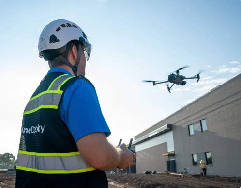
Build your fleet (or let us do it for you)
.avif)
Supported hardware
Our processing engine works with data from any camera source and supports automated flights, mission planning, and execution across drones, ground robots, docked systems, and 360 cameras.
Data on demand
Need the data but don't have pilots or hardware yet?
Use our services network to capture key corridors and facilities at the cadence you need, with processed maps, photos and models delivered straight into your DroneDeploy account.
Is DroneDeploy the right fit for your operations?
No – it’s built for the entire project ecosystem. While GCs use it for site-wide oversight, subcontractors, MEP trades and architects use DroneDeploy to verify their specific installations, document "as-builts" before walls are closed, and ensure design intent matches reality.
If your work is part of the physical build, you need a digital record of it.
Locating finds the lines; DroneDeploy records them. Combining both gives you a permanent, visual, geo‑referenced record that reduces repeat locates, disputes and future strikes.
No. It’s used by IOUs, co‑ops, municipal utilities and contractors. If strikes, outages or truck rolls impact your margins or reliability metrics, you can benefit.
Yes. Enterprise utilities customers use DroneDeploy as a central platform for flight operations and data because it offers encrypted data at rest and in transit, role‑based permissions, and enterprise‑grade controls including SOC 2 and ISO 27001 certifications.
Yes. Measurements, coordinates and imagery are tied together so you can show exactly where assets were, what was installed and what changed when incidents occur.
DroneDeploy gives engineering, operations and safety teams a shared, dated view of every site. Field crews capture once; everyone else reviews from their desk.
DroneDeploy gives engineering, operations and safety teams a shared, dated view of every site. Field crews capture once; everyone else reviews from their desk.
Getting started is simple. Request a demo today.