
Aerial Pro
Get more from your drone program
Scale advanced aerial workflows to every project and every pilot.
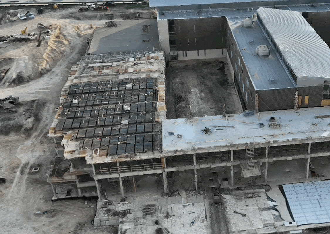
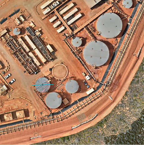
The highest accuracy processing
More accurate reconstruction for more accurate maps, optimized for linear, large, and complex sites. Detect issues earlier and measure with confidence.
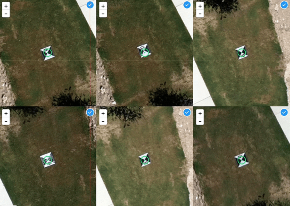
Save 2 hours per map
DroneDeploy tags and aligns your ground control – no manual effort, no waiting to process. Maps are ready by morning.
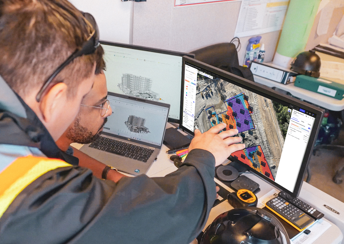
Verified maps, every time
Every map reviewed with expert help for complex issues. In-app accuracy alerts catch silent failures before reports go out.
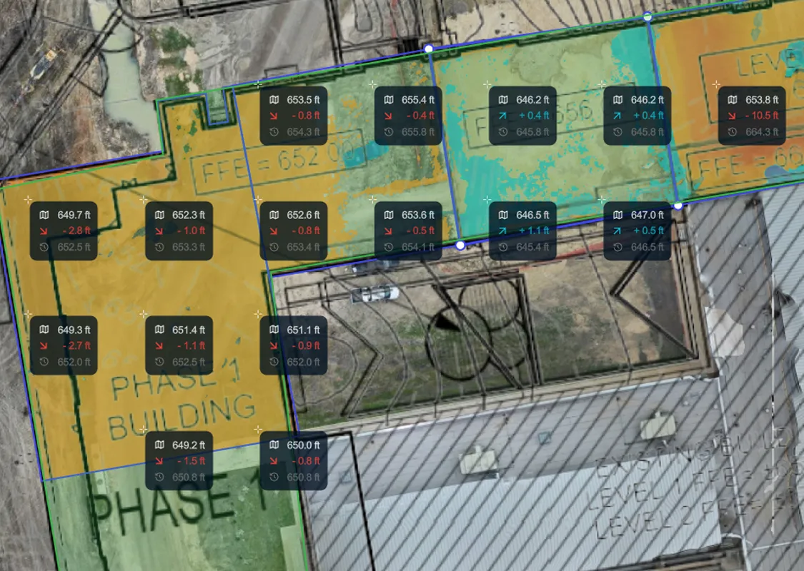
4cm = $50k
Analyze cut/fill by region. Export quantities, track progress to design, and get ahead of issues before they cut into margins.
Compare Aerial and Aerial Pro
Aerial
GCP Tagging
Manual
Processing Tier
Standard
Accuracy Verification
Manual via Processing Report
Earthworks Analysis
Volume Annotations
Aerial Pro
GCP Tagging
Fully Automated
(Save hours each capture)
(Save hours each capture)
Processing Tier
Highest Accuracy
(Up to 12x finer detail, 50% faster)
(Up to 12x finer detail, 50% faster)
Accuracy Verification
Expert Verification
(Every map checked)
(Every map checked)
Earthworks Analysis
Location-based Cut/FillElevation Grid View
(Automate earthworks analysis)
(Automate earthworks analysis)