Introducing DroneDeploy Flight Support for the Anzu Raptor
.svg)

Quick Summary
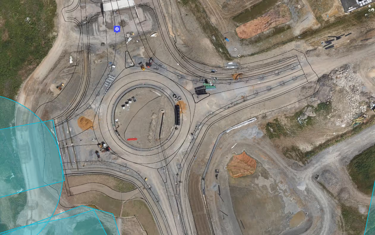
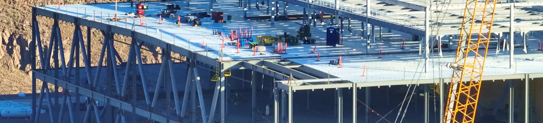
DroneDeploy now fully supports the Anzu Raptor drone, expanding hardware flexibility for users in construction, energy and other data-intensive industries. With no geofencing, a 20MP mechanical shutter camera, 45-minute flight time and RTK compatibility, the Raptor delivers distortion-free, high-accuracy imagery ideal for mapping. DroneDeploy's flight app runs directly on the smart controller, streamlining mission planning and execution. The integration boosts efficiency, reduces reliance on GCPs and enables faster project completion. Live demos will be featured at Horizons 2024 in Scottsdale.
We’re thrilled to announce that DroneDeploy now fully supports the Anzu Raptor drone, an exciting addition to your aerial surveying toolkit. This collaboration is another step forward in providing our users with the most advanced tools for precise and efficient data capture and more flexibility in the choice of drone hardware.
Why the Anzu Raptor?
The Anzu Raptor drone is designed for professionals who demand accuracy, efficiency, and reliability. Whether you're involved in construction, agriculture, energy, or any other industry requiring detailed aerial data, the Anzu Raptor delivers.

Key Features:
- No Geofencing: Pilots have the freedom to fly where they need to, when they need to, with proper authority. Operations aren't hindered by unnecessary restrictions, giving users greater flexibility in the field.
- Manufactured in Malaysia: providing an additional layer of assurance for those concerned about the origins of their technology.
- High-Resolution Imaging: equipped with a cutting-edge 20-megapixel camera, offering unparalleled image quality. This feature ensures that every detail is captured, making it ideal for creating high-fidelity maps and models.
- Crystal-Clear Shots: One of the standout features of the Raptor is its mechanical shutter. Unlike electronic shutters that can cause distortion, especially in fast-moving scenes, the mechanical shutter ensures that every frame is crisp and distortion-free. This makes the Raptor particularly well-suited for drone mapping, where image accuracy is very important.
- Extended Flight Time: With a flight time of up to 45 minutes, the Anzu Raptor significantly reduces downtime between missions. This means more data captured in a single flight and fewer battery swaps, increasing overall operational efficiency.
- Centimeter-Grade Accuracy: For projects that require higher accuracy, the Anzu Raptor's compatibility with Real-Time Kinematic (RTK) technology is a game-changer. RTK allows for centimeter-grade accuracy without the need for numerous ground control points (GCPs), streamlining the mapping process.
- Smart Controller Integration: DroneDeploy users can install and run our flight app directly on the Anzu Raptor's smart controller. This seamless integration means you can plan and execute missions directly from the controller.
How Does This Benefit DroneDeploy Users?
The support for the Anzu Raptor drone on DroneDeploy's platform unlocks even more possibilities for our users:
- Seamless Mission Planning: Plan, execute, and monitor your missions directly from the smart controller, reducing the need for additional equipment and simplifying your workflow.
- High-Accuracy Mapping: With the Raptor's advanced camera and RTK capabilities, you can create highly accurate maps that meet the requirements of even the most complex projects.
- Increased Efficiency: The extended flight time and reduced need for GCPs mean you can cover more ground in less time, allowing you to complete projects faster and more efficiently.
For more detailed information about the integration, please visit our help center. If you’re ready to buy, check out our DroneDeploy bundle, with everything you need to start flying!
See the Anzu Raptor in Action at Horizons
Want to see the Anzu Raptor in action? Join us at the upcoming Horizons User Conference in Scottsdale, Arizona, October 22-23, where we'll be showcasing live demos of the drone and its integration with our platform. This is a perfect opportunity to see firsthand how the Anzu Raptor can elevate your aerial mapping capabilities.

.png)
FAQ


Ready to manage your data from the very start?
Book a quick call to see how DroneDeploy streamlines capture from construction through building ROI.