2025 Social Impact Report
.svg)
Quick Summary
DroneDeploy's 2025 Social Impact Report: $13M in product donated, 262 nonprofit partners and 33 million acres mapped for crisis response and conservation.
We are excited to share DroneDeploy's 2025 Social Impact Report, which highlights our ongoing commitment to using reality capture technology as a force for good. This year, we welcomed 39 new nonprofit and 30 new education partners into DroneDeploy.org, deepened our workforce development commitments, and saw our Resilient Futures grantees deliver results that extended well beyond what those grants were designed to do.
In 2025, DroneDeploy continued to focus on:
Accelerating Crisis Response: Providing first responders, humanitarian organizations, and government agencies with rapid access to aerial intelligence for damage assessment, crisis preparedness, and relief coordination.
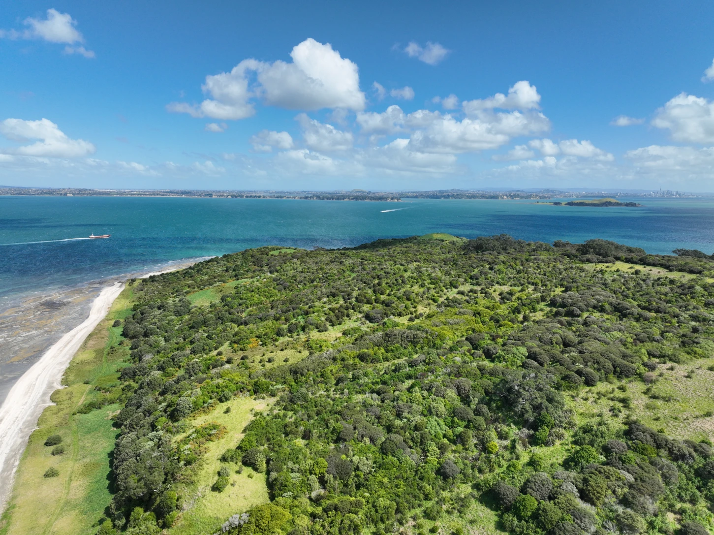
Advancing Conservation: Enabling organizations to map habitats, track wildlife, and assess environmental changes — with equitable, need-based discounting for nonprofits to make access possible.
Strengthening Communities: Empowering students and advocates to use reality capture technology to map assets, visualize impact, and build careers in the industry.
Spotlight: Elevate Scholarship
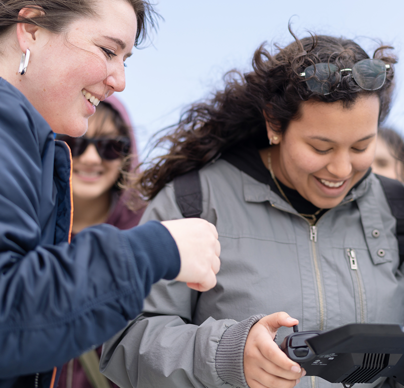
In May 2025, DroneDeploy publicly launched the Elevate Scholarship at AUVSI XPONENTIAL, alongside Amazon Prime Air, FlyGuys, the FAA Collegiate Training Initiative, AUVSI, and the National Center for Autonomous Technologies (NCAT).
FAA Part 107 certification is the entry point for students who want to work professionally in the drone industry. The exam costs $175 — a number that is not significant in isolation, but for students without employer sponsorship or family support, it is a real barrier. The FAA projects more than 470,000 remote pilots will be needed within five years. In 2023, roughly 28,000 students aged 16 to 24 passed Part 107, paying an estimated $4 million in fees out of pocket.
Elevate is designed to close that gap. Each scholarship covers the exam fee and pairs it with DroneDeploy's self-paced Part 107 training and direct connections to employers. Every $5,000 raised puts 28 more students through certification. In the program's first year, $50,000 was raised — enough to fund 290-plus scholarships — with five industry partners across commercial, education, and nonprofit sectors.
Spotlight: Sheffield and Rotherham Wildlife Trust
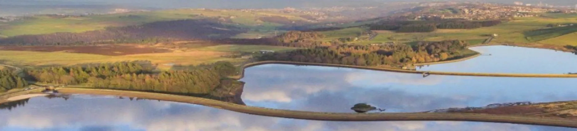
South Yorkshire has experienced severe flooding for decades. The 2007 floods caused more than £1 billion in damage, affecting over 1,200 homes and 1,000 businesses. Sheffield and Rotherham Wildlife Trust has spent years building a long-term response — restoring upland moorlands, re-vegetating degraded slopes, and slowing water before it reaches communities downstream.
With support from DroneDeploy's Resilient Futures grant, the Trust mapped wetlands and degraded field drains across priority catchments in the River Sheaf and River Loxley areas. Elevation models combined with surface water flow predictions let the team identify where nature-based interventions would store the most water and protect the most properties.
Drone-based surveys completed the same fieldwork in roughly one-third of the staff time required by traditional methods. The aerial imagery also proved more accurate than on-the-ground water data in several areas — which changed which neighboring landowners the Trust was able to bring into the program. When the evidence is visible and shared, the conversations with adjacent landowners change. Ten Wildlife Trusts across the region are now trialing drone-based data collection as a result.
Key highlights from the 2025 report
- $13M in product donated to nonprofit and education partners.
- 262 nonprofit partners and 593 education partners across 142 countries.
- 33 million acres mapped over the program's lifetime.
- Resilient Futures grantees in the Philippines helped a local municipality secure $1.5M in national climate-resilience investment using drone-derived mangrove maps.
- DroneDeploy became the first company in the reality capture industry to complete an independent AI security attestation, conducted by BABL AI.
- Named a 2025 Fortune Best Workplace in the Bay Area, ranked 6th out of 75 companies.
We are proud of the progress made in 2025 and remain committed to driving positive change through our technology. Read the full 2025 Social Impact Report to learn more about our partners and their work.
.png)
FAQ
Related articles
Ready to learn more?
Contact sales to see how DroneDeploy can give your teams the power to document and analyze your sites from the air and ground – all in one AI-powered platform.